
# Erin Rapidly Intensifies Into a Monstrous Category 5 Hurricane
Understanding the Power of a Category 5 Hurricane
Hurricane Erin has stunned meteorologists and residents alike by rapidly intensifying into a monstrous Category 5 hurricane, the highest classification on the Saffir-Simpson Hurricane Wind Scale. With sustained winds exceeding 157 mph, a Category 5 hurricane is capable of catastrophic damage, leveling buildings, uprooting trees, and causing life-threatening storm surges. Erin’s unexpected escalation serves as a sobering reminder of how quickly tropical cyclones can transform into deadly forces of nature, especially in warming ocean conditions.
The term Category 5 hurricane is reserved for the most extreme storms, where wind speeds can surpass 180 mph, leaving entire communities in ruins. Historical examples like Hurricane Andrew (1992) and Hurricane Maria (2017) demonstrate the long-lasting devastation these systems bring. Erin’s rapid intensification—gaining 35+ mph in wind speed within 24 hours—highlights the increasing volatility of hurricanes in the era of climate change.
The Science Behind Rapid Intensification
Rapid intensification occurs when a hurricane’s maximum sustained winds increase by at least 35 mph within 24 hours. For Erin, this explosive growth was fueled by unusually warm ocean temperatures, low wind shear, and abundant atmospheric moisture—conditions becoming more frequent due to climate change. When a storm like Erin taps into these energy-rich environments, it can evolve from a tropical storm to a Category 5 hurricane in a matter of days.
Researchers have noted that rising sea surface temperatures provide more heat energy for hurricanes, allowing them to strengthen faster and reach higher peak intensities. Erin’s transformation into a Category 5 hurricane aligns with recent trends showing an uptick in rapidly intensifying storms, a phenomenon that challenges forecasters and emergency planners. Advanced satellite technology and hurricane models now play a critical role in predicting these sudden changes, giving coastal populations precious extra hours to prepare.
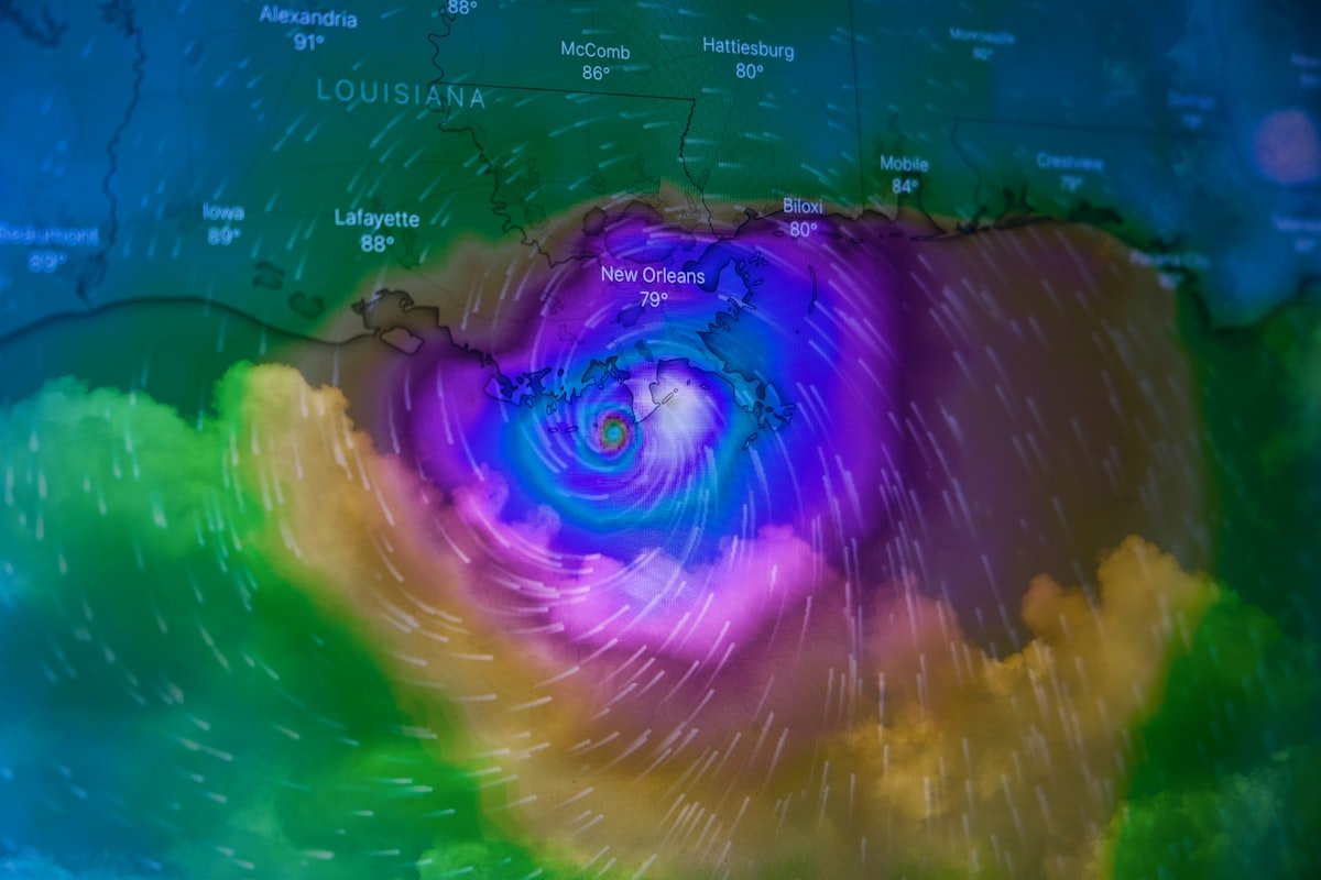
Projected Path and Potential Impacts
As of late August 2025, Hurricane Erin’s projected path suggests a potential landfall along the southeastern U.S. coastline, though slight deviations could shift its trajectory. The primary threats from a Category 5 hurricane include extreme winds capable of tearing roofs off homes, storm surges exceeding 20 feet, and torrential rainfall leading to flash flooding. Even areas outside the direct path may experience destructive winds and tornadoes spawned by Erin’s outer bands.
Coastal evacuations have already begun in vulnerable regions, with emergency management agencies urging residents to heed warnings. Historical precedents like Hurricane Katrina underscore the importance of early action—delaying evacuation in the face of a Category 5 hurricane can have deadly consequences. Storm surge remains the greatest killer in hurricanes, and Erin’s sheer power could inundate low-lying areas with devastating force. Related reading: Nasdaq Hits Record High on Microsoft & Meta Earnings.
How to Prepare for a Category 5 Hurricane
Preparation is the key to survival when facing a storm of Erin’s magnitude. Residents in the projected path should secure their homes with hurricane shutters, reinforce garage doors, and trim trees that could become projectiles. Emergency kits with food, water, medications, and important documents should be ready, along with a plan for evacuation if necessary. Power outages could last weeks after a Category 5 hurricane, so backup generators and battery-powered devices are essential.
Local governments are activating disaster response plans, setting up shelters, and coordinating with federal agencies like FEMA. Those in evacuation zones must follow official guidance—waiting until the last minute can lead to gridlocked roads and stranded vehicles. Hurricane Erin’s rapid intensification is a stark reminder that complacency has no place when dealing with nature’s most violent storms.
The Role of Climate Change in Stronger Hurricanes
Scientists have long warned that climate change is increasing the frequency and intensity of major hurricanes. Warmer oceans provide more fuel for storms, while higher atmospheric moisture levels contribute to heavier rainfall. Erin’s rapid escalation into a Category 5 hurricane fits this troubling pattern, reinforcing the need for global action to reduce greenhouse gas emissions.
Studies show that the proportion of hurricanes reaching Category 4 and 5 status has grown over the past few decades, a trend expected to continue as oceans absorb more heat. Coastal communities must adapt by strengthening building codes, restoring natural barriers like wetlands, and improving flood defenses. Hurricane Erin is not an isolated event but part of a broader shift toward more extreme weather.
Lessons From Past Category 5 Hurricanes
History offers valuable lessons on surviving and recovering from Category 5 hurricanes. Hurricanes like Camille (1969) and Michael (2018) demonstrated that even well-built structures can fail under such extreme conditions. Communities that invest in resilient infrastructure, such as elevated homes and reinforced critical facilities, fare better in the aftermath.
Recovery from Erin will likely take years, with rebuilding efforts requiring substantial funding and coordinated support. Past disasters have shown that equitable recovery is crucial—low-income and marginalized populations often suffer disproportionately. As Erin approaches, the focus must remain on saving lives, but long-term planning should address how to rebuild stronger and smarter.
Final Thoughts: Respecting Nature’s Fury
Hurricane Erin’s rapid intensification into a Category 5 hurricane is a wake-up call for vulnerable regions worldwide. While advances in forecasting have improved warning times, the sheer power of these storms demands unwavering respect and preparation. Climate change is amplifying the risks, making it imperative for individuals, communities, and governments to prioritize adaptation and mitigation strategies.
As we brace for Erin’s potential landfall, the priority remains protecting lives and minimizing suffering. Whether you’re in the storm’s path or supporting relief efforts, staying informed and prepared is the best defense against nature’s most formidable forces.


 FTC Probe Blocked: Judge Stops Investigation into Media Watchdog